For civil construction in Austria
Walk the trench once.Documented.
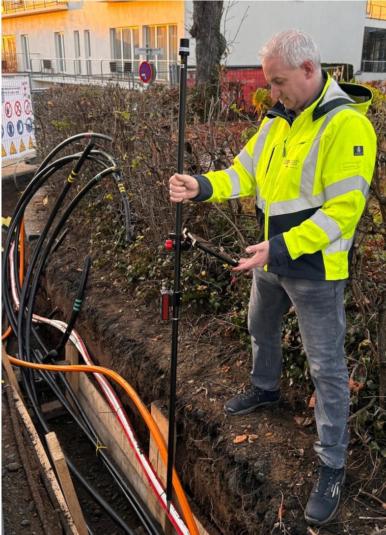
Your crew measures cables, ducts and cross-sections themselves – centimetre-accurate with RTK, while the trench is open. The as-built plan and the measurement sheet reach the office the same day.
In use with Austrian construction and utility companies





How DPB, Leyrer + Graf and CCE work today
With GeolantisNEO, we reduced our documentation time by 75% while increasing data quality. Geolantis is now indispensable.
−75%
documentation time

The quantities are ready for the invoice.
Each captured feature maps to a bill-of-quantities item. Station capture adds up cross-sections as the crew walks, and the measurement sheet is generated per project and period.
Same day · measurement sheet ready
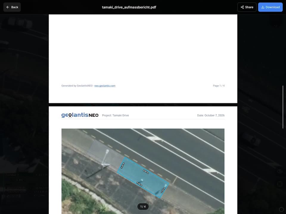

Every duct on record before the trench closes.
Many short trenches, many house connections, many crews – one standard for all of them: same feature classes, attributes and accuracy thresholds, with fix type visible during capture.
One standard · across every crew
Try it yourself
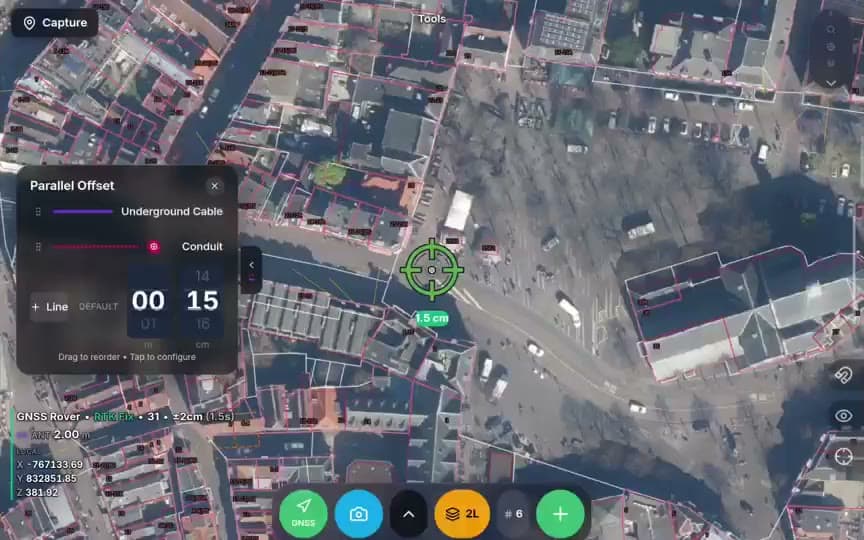
Austrian maps, cadastre and survey marks – live
Switch between official Austrian basemaps, show the BEV survey marks and tilt into 3D terrain – the same maps your crews use on site.
From the trench to the invoice
Measured once – billed from the same data
01
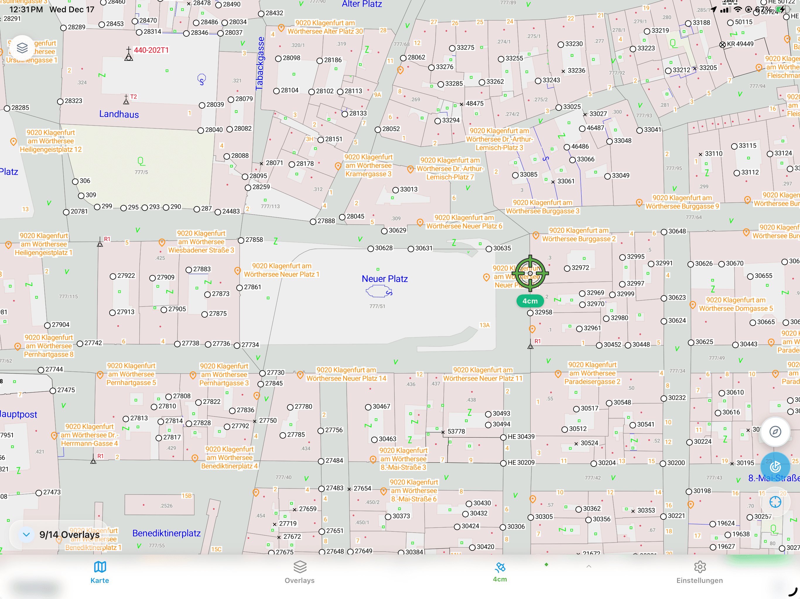
Parallel lines in one pass
Capture power cable, conduit and fibre duct together at their set offsets – one walk for the whole trench.
02
Station capture
A fixed-width cross-section at every station; the excavated area adds up live in m² as you walk.
03
Measurement sheet, automatically
Lengths, areas and quantities flow straight into a measurement sheet, ready to attach to the invoice.
On site
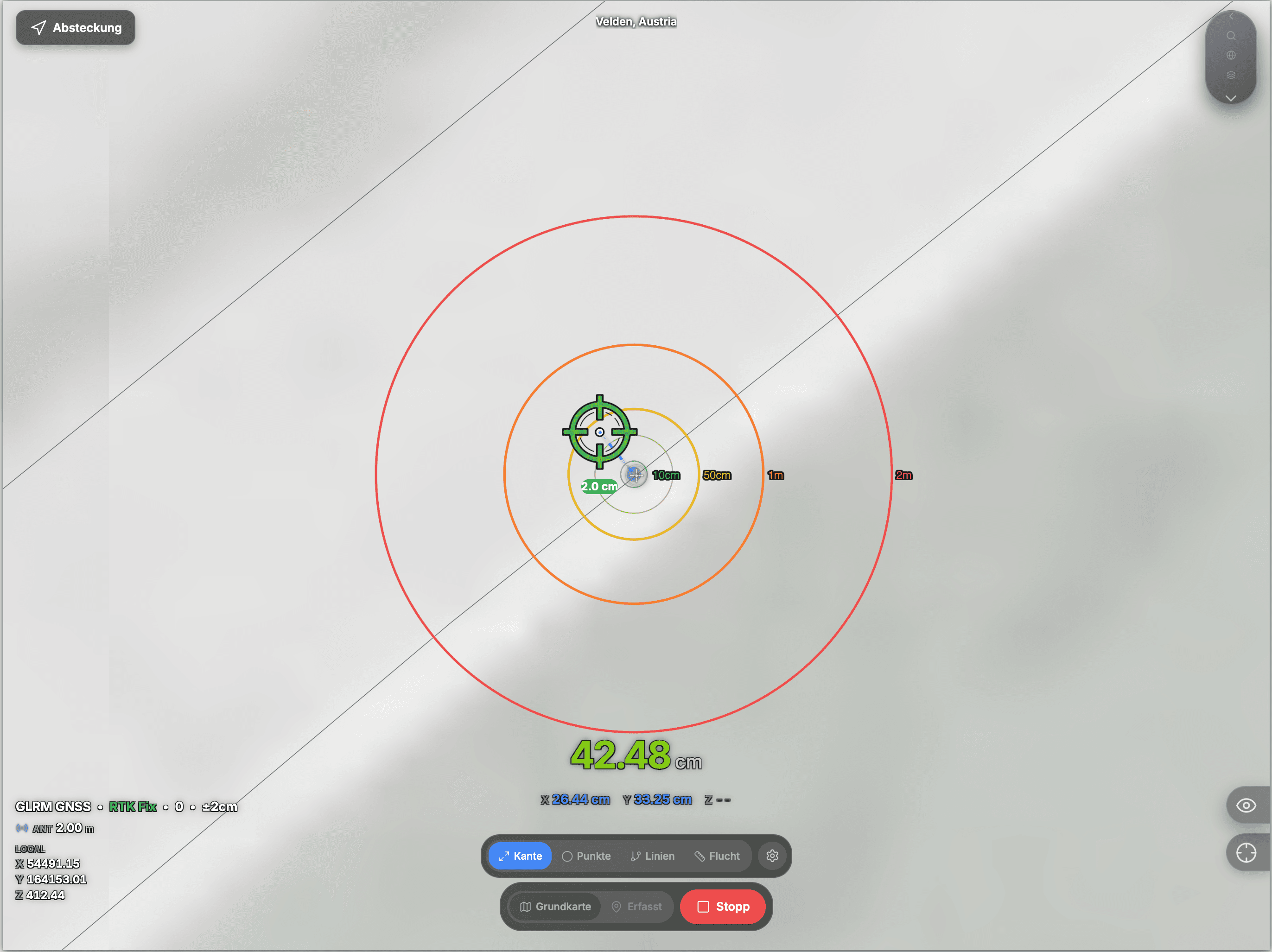
Works with what your crews carry
- Receiver
- Your receiver, your NTRIP accountConnect your RTK receiver over Bluetooth and use your NTRIP correction service.
- Fix type
- Fix type always in viewFix type and accuracy stay visible during capture, so every point is traceable.
- Offline
- No signal in the trench? Keep capturing.Capture without signal in the trench; data syncs to the office as soon as you are back online.
Your requirements
A large Austrian contractor's requirements list – point by point
Every requirement on the list, with the GeolantisNEO feature that covers it.
7 items
Pos. 01
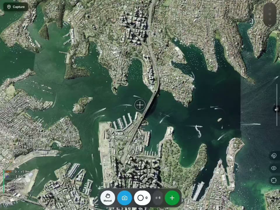
Upload CAD files as reference or stakeout target
CAD mode: DXF/DWG with stakeable layers
Pos. 02
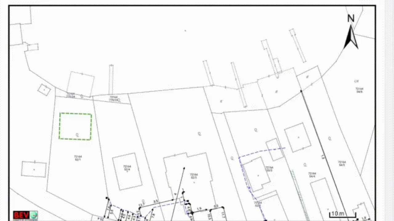
PDF overlays with utility information when there is no CAD
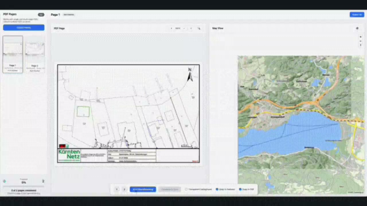
Georeference the PDF plan and overlay it on the map
Pos. 03
Georeferenced drone imagery when needed
Image overlays
Pos. 04
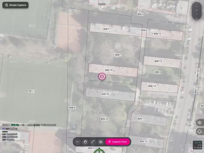
Owner data for handover points
Parcels live, with cadastral attributes
Pos. 05
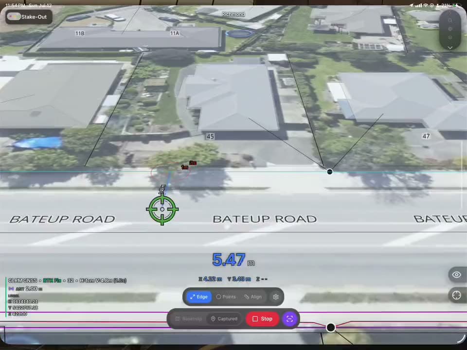
Stake out along an alignment (Flucht)
Alignment stakeout with station and offset
Pos. 06
Parallel lines for LV/MV cable networks
Parallel-line capture
Pos. 07
Snapping – close gaps, no rework
Lines snap while capturing – no redrawing in the office

Your contact in Austria
Let's look at your next site together
30 minutes, on your own project data – then you decide.
Michael Pegam
Sales Director Europe

