Key Features
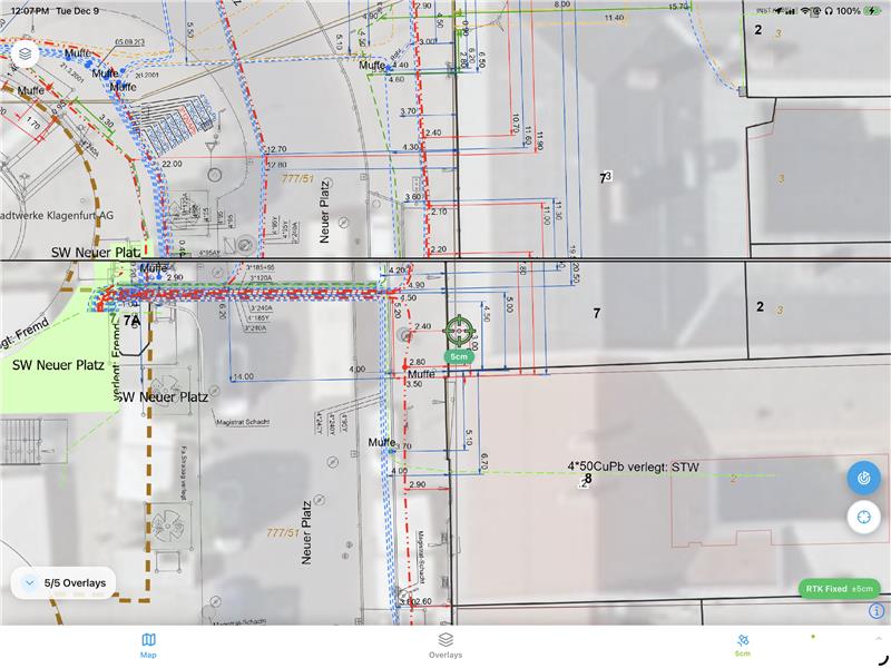
Arrow Navigation
Follow the arrow to reach any point from your plans.
Distance Display
See exactly how far you are from the target.
RTK Support
Connect any GNSS receiver for centimeter accuracy.
Point Import
Import points from CAD files or spreadsheets.
Sequential Mode
Work through a list of points efficiently.
Stake Report
Document each staked point with photo evidence.
Why teams love it
No more waiting for surveyors to become available
Foremen can stake basic points themselves
Reduce costly surveyor callouts by 80%
Keep projects moving on schedule