4
national datasets
Official
authoritative sources
Live
on the map, on site
Tap
for parcel details
Key features
Authoritative boundaries, right where you stand
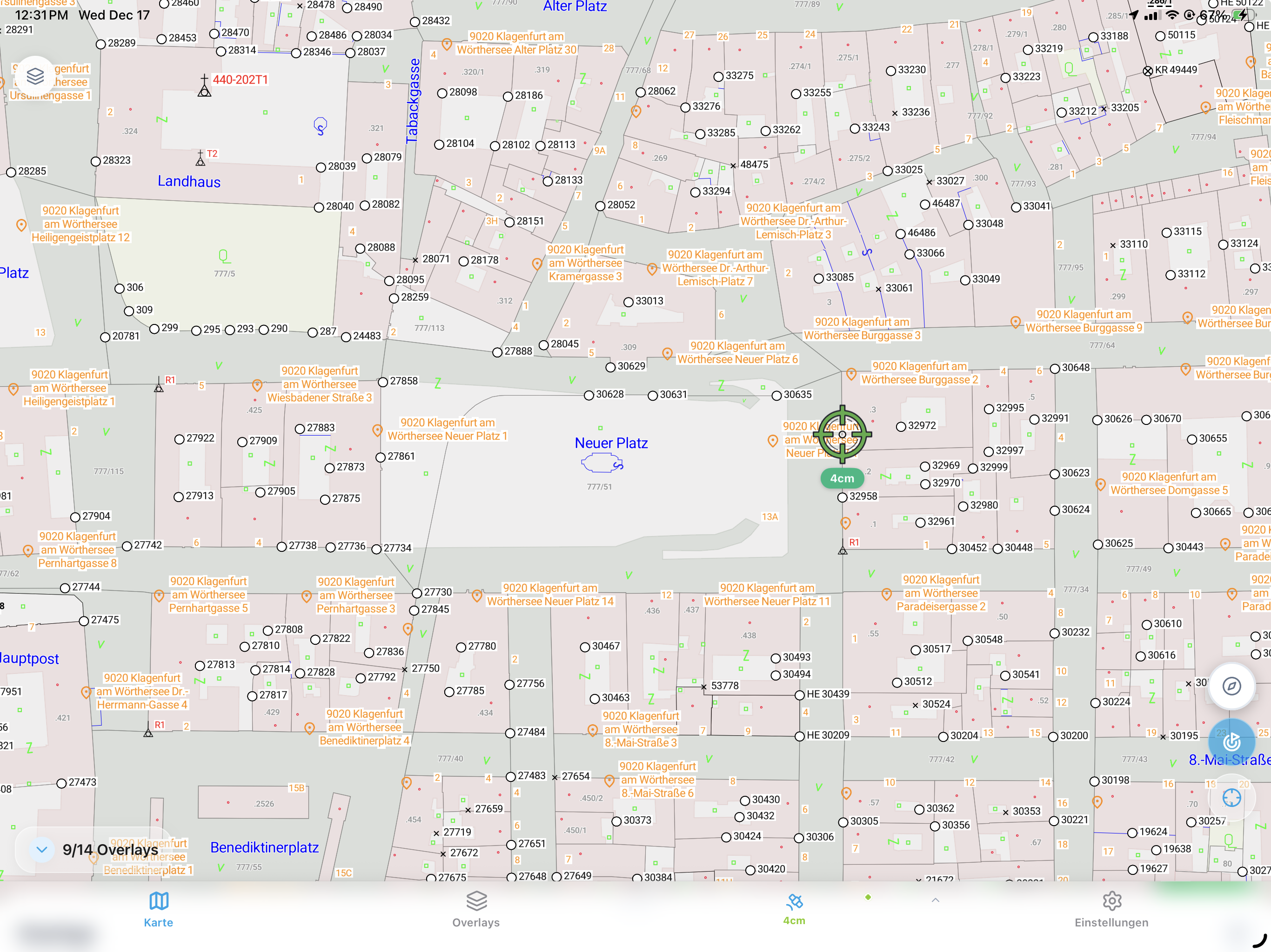
Official cadastral layers for the regions you work in — no paper extracts.
Austria (BEV)
Official Austrian cadastral boundaries and survey marks.
Germany (ALKIS)
German property data where available.
UK (OSGB)
Ordnance Survey boundary data.
New Zealand (LINZ)
NZ property boundaries and parcels.
Layer toggle
Show or hide cadastral data whenever you need it.
Parcel info
Tap any parcel to see its property details.
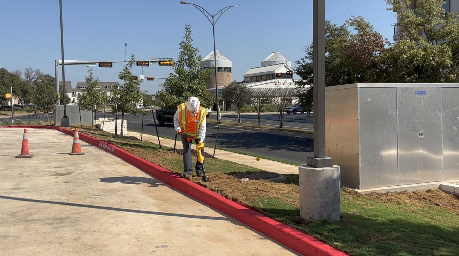
In the field
Boundaries on the map, right where the crew is standing.
Why teams love it
Know the line before you dig
Bring authoritative boundaries to site and settle questions on the spot.
Avoid disputes
sidestep expensive boundary conflicts
No paper prints
cadastral data lives on the map
Always current
official, up-to-date data
Owners on site
identify property owners
Ready to see boundaries on site?
Start your free trial today. No credit card required.