Why GeolantisNEO
Survey-grade data without a GIS department.Built for real job sites.
GeolantisNEO closes the gap between paper, simple site apps and specialist GIS. Field capture, office, CAD/GIS deliverables and billing on one platform your crew can use on day one.
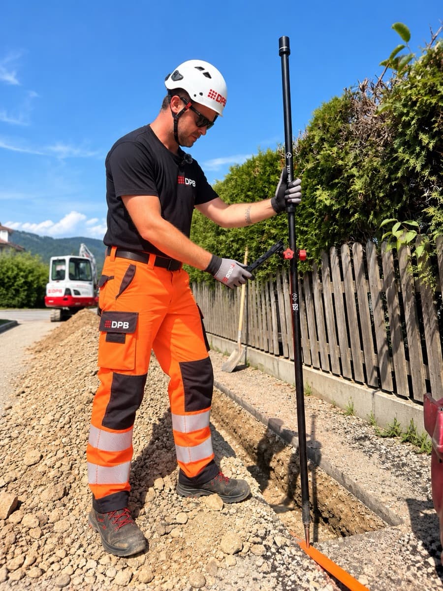
What sets us apart
Three things no alternative does together
Ready for Austria out of the box
BEV cadastre, MGI / Gauß-Krüger and orthometric heights are built in. No projection setup, no grid files to hunt down.
Any GNSS receiver, survey-grade data
Leica, Trimble, Emlid, Stonex or our own receiver. Every point stores its fix type, accuracy and coordinate reference system.
From measurement to invoice
Quantity takeoff (Aufmaß) in the field flows straight into bills of quantities and reports. No retyping in the office.
GeolantisNEO and the alternatives
Specialist GIS is powerful but needs an expert to set up. Site apps are simple but stop at basic formats. GeolantisNEO gives you both.
- Included
- Partly, see note
- Not offered
| Esri ArcGIS / Field Maps | QGIS / QField | Construction-site apps | Spreadsheets & paper | GeolantisNEO | |
|---|---|---|---|---|---|
| Austrian cadastre, MGI and heights built in | Horizontal only | Manual setup | No cadastre | No | Yes |
| Centimetre accuracy with any GNSS receiver | Yes | Yes | Selected antennas | No | Yes |
| Works offline in the trench | Yes | Yes | Yes | Yes | Yes |
| Field and office on one live platform | Several apps | Manual sync | Yes | No | Yes |
| Your own feature classes and forms | GIS admin | In QGIS Desktop | Yes | Manual | Yes |
| CAD / GIS deliverables (DWG, LandXML, Shapefile, GeoPackage) | Desktop, no LandXML | No DWG / LandXML | DXF / CSV / SHP | No | Yes |
| Quantity takeoff to billing, built in | No | No | Quantities only | Manual | Yes |
| No GIS specialist required | Admin for setup | Admin for setup | Yes | Yes | Yes |
| Public pricing, live in a day | Quote, annual licence | Public, setup effort | Price on request | Yes | Yes |
Based on publicly available information, as of October 2026. Talk to us for a detailed comparison.
See it on your own site
Start a free trial, or book a demo and we walk your crew through a real job.

