Built for the whole crew
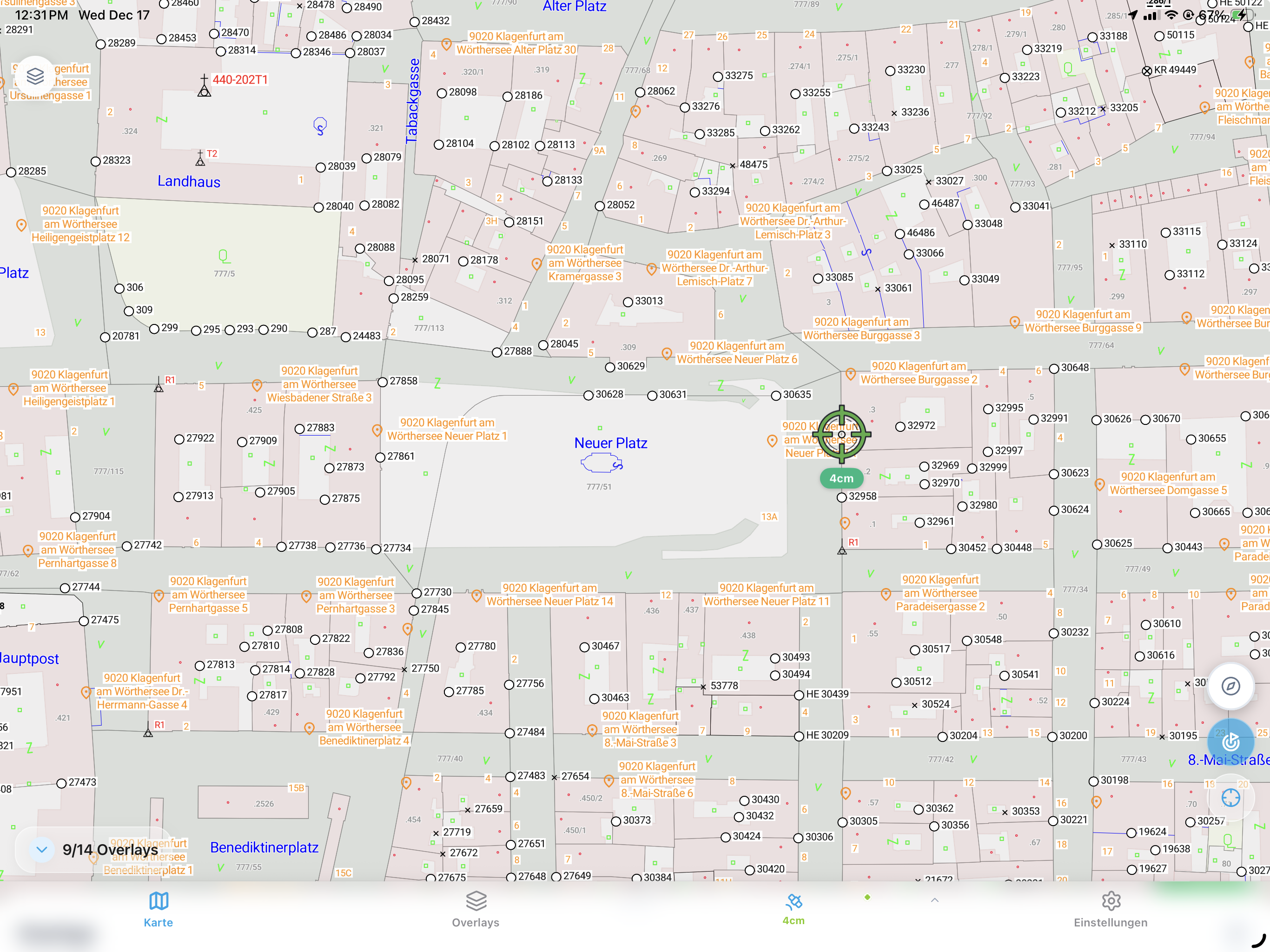
Run the crew, capture as you go
Measure points, lines and areas one-handed on site — no surveying training, no waiting for a surveyor.
See the whole site, prove every metre
Live field visibility and a defensible, timestamped record for oversight and handover.
Bill every metre
Audit-ready measurement reports with quantities — fewer disputes, nothing missed.
The field on your screen
Every capture syncs to the office in real time, with a full traceable project history.
Key Features
One-tap measurement
Points, lines and areas from the plan; area and perimeter calculated on the spot.
Stake-out navigation
Navigate to design points with live GNSS guidance to centimeter accuracy.
Plan import
Load PDF, DXF or DWG site plans and work directly from them.
Photo documentation
Geotagged photos with timestamp and heading, placed on the plan.
Measurement reports
Audit-ready PDF reports with plan views, coordinates and quantities.
CAD/GIS export
One-click export to DXF, Shapefile, GeoJSON and PDF.