Built for the engineering team
Stake the design yourself
Navigate to design points and lines from the plan with centimeter-accurate RTK — no survey crew on standby.
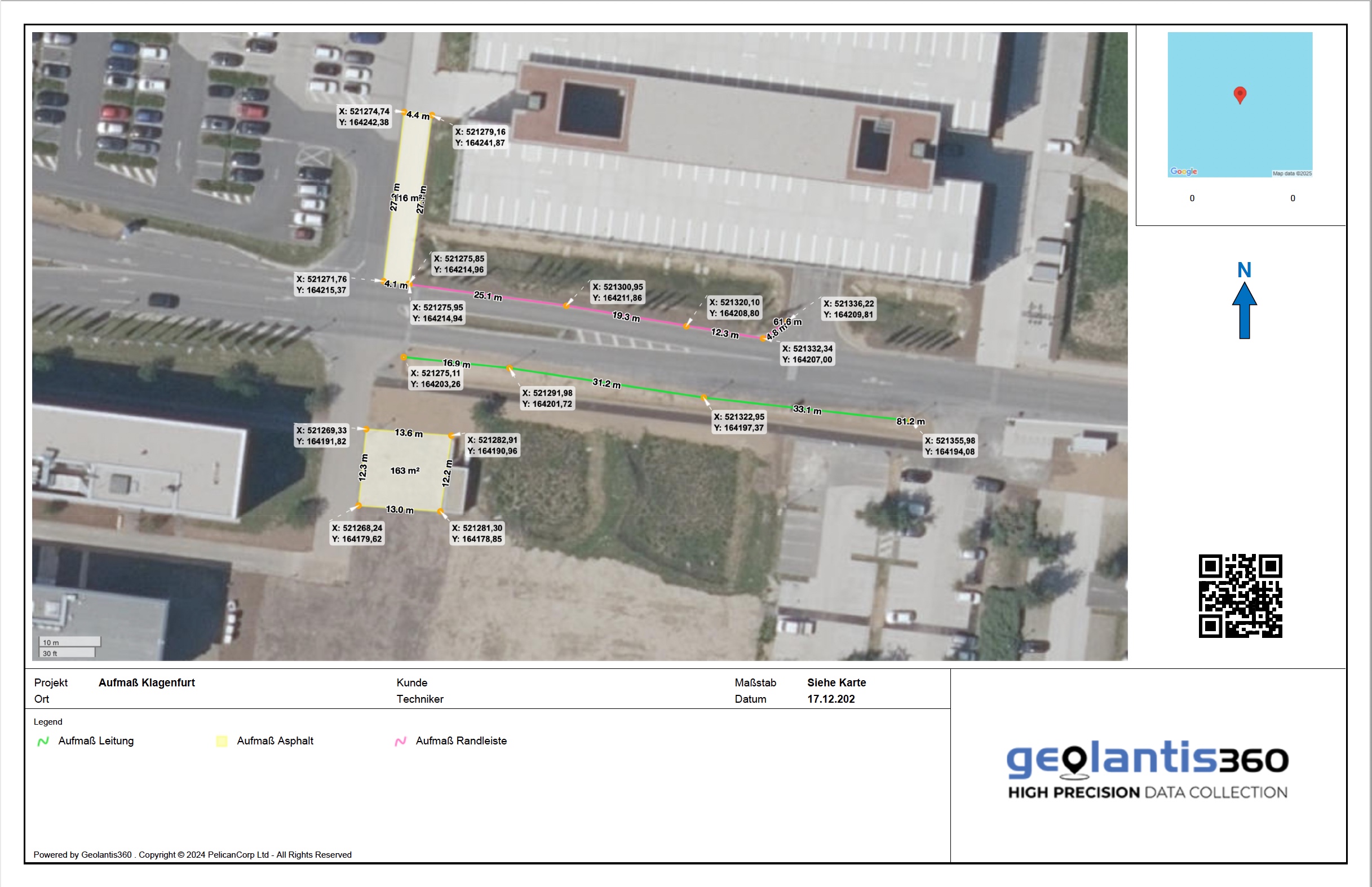
Capture as-built on site
Record what was actually built to centimeter accuracy as you go — straight into the field-to-CAD loop.
Clean geometry, both ways
Import DXF, DWG and PDF designs; export survey-grade data straight back to CAD.
Defensible records
Audit-ready reports of what was captured, when, and to what accuracy.
Key Features
Stake-out to design
Navigate to points and lines from the plan with live GNSS guidance to centimeter accuracy.
As-built capture
Record the built condition to centimeter accuracy alongside the design you staked from.
CAD import
Load DXF, DWG and PDF designs and work directly from them.
Survey-grade export
Send DXF, GeoJSON, Shapefile and PDF back to the office.
Defensible reports
Audit-ready PDF with coordinates and timestamps.
Works with your GNSS
Any supported receiver plus NTRIP / RTCM correction sources.