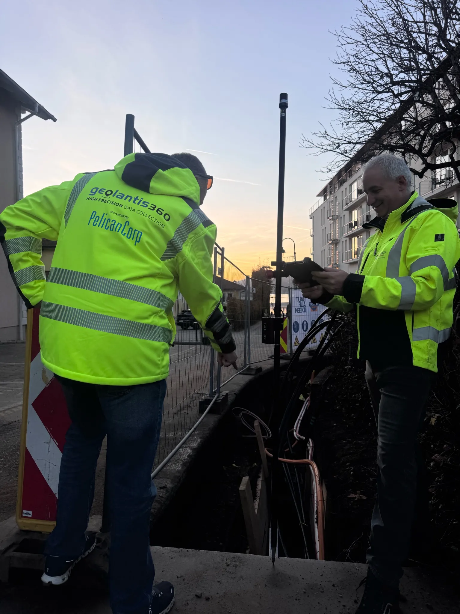
Built for the survey business
Surveyor / Firm Owner
Scale without adding headcount
Send crews to capture in the field and keep control of the deliverable in the office.
Survey Technician
Fast, accurate field capture
Points, lines and areas with RTK from any supported receiver — fully offline.
CAD / Drafting
Data lands ready to draft
Coordinate-correct captures export straight into your CAD — no cleanup.
Project Lead
More jobs, same team
Fewer truck rolls and less rework mean higher throughput per surveyor.
Key Features
Centimeter-accurate capture
Points, lines and areas with RTK from any supported GNSS receiver.
Coordinate systems & transformations
Work in your local CRS with the transformations your projects need.
Stake-out
Navigate to points from the plan to centimeter accuracy.
CAD / GIS export
One-click export to DXF, Shapefile, GeoJSON and PDF.
Fully offline
Capture with no connection; everything auto-syncs later.
Team & project management
Assign work, review captures and keep control of the deliverable.
Why teams love it
Send crews to capture — keep the CAD and QA in-house
Centimeter-accurate data in your local coordinate system
Fewer truck rolls; more jobs per surveyor
Works with the GNSS receivers you already run