For crews on site
Your crew is already on site.Now they can measure it.
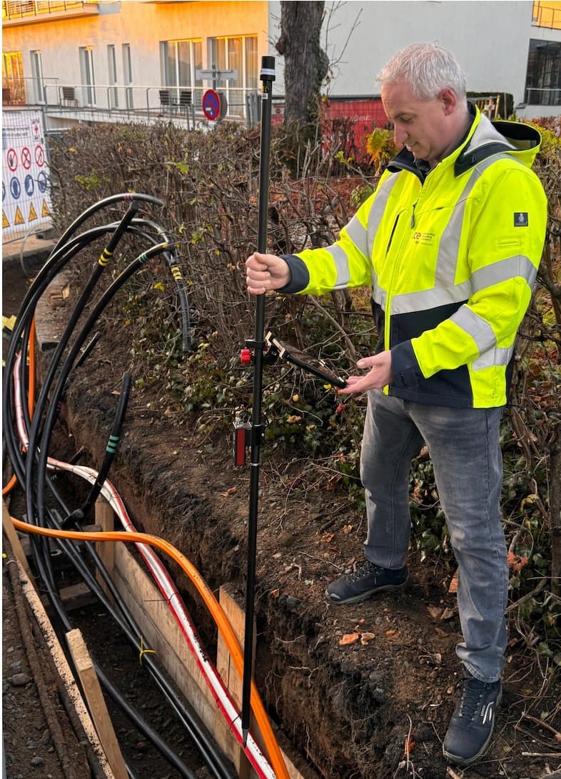
No waiting days for a surveyor. No sketches re-keyed at night. GeolantisNEO turns the tablet in your crew's hand into a centimetre-accurate survey tool, so every trench is measured and documented before it's closed.


- faster field measurements
- 6x
- less documentation time
- 75%
- positioning accuracy
- ±1cm
- to be productive
- 20 min
Trusted by survey and construction teams







Sound familiar?
Three sentences every site has heard.
Site manager
“The surveyor can come on Thursday.”
Until then the excavator and the crew stand idle, or they dig without a line.
With NEO
Your foreman stakes out the curb line this morning, straight from the design drawing.
Utility locator
“I'll draw it up tonight.”
After a long day, the sketches get re-keyed into GIS. One typo away from the next strike.
With NEO
The locate is dimensioned on site, and the report is finished before you leave.
Network owner
“Where exactly is that cable?”
Once the trench is backfilled, nobody knows. Records drift from reality and disputes follow.
With NEO
Every cable is measured to ±1 cm, with photos, before the trench is closed.
A day on site
One crew. One tablet. Nobody waiting.
What a working day looks like when the crew on site does its own measuring.
CAD & PDF plans
The plan is on the tablet before the van stops.
The design drawing arrives as DXF, DWG or PDF. Two taps to georeference it, and it sits on the map under the crew's live position.
Stakeout
Curb line staked by nine.
Pick the line and follow the arrow. Distance and cut/fill guide the foreman in to the centimetre, with no surveyor booked and nobody waiting.
Parallel lines
Trench open. Walked once. Every cable captured.
Four cables and a fibre duct, each at its true offset, recorded in a single walk. Snapping closes every gap, so nothing is redrawn later.
Station capture
The quantities are ready for the invoice.
Cross-sections at every station add up the excavated area as the crew walks. The quantity report is generated, not typed.
Field-to-office sync
The office already has it.
By the time the crew is back, every feature, photo and measurement is in the dashboard. Nothing re-keyed, and nothing lost when the signal dropped.
neo.geolantis.com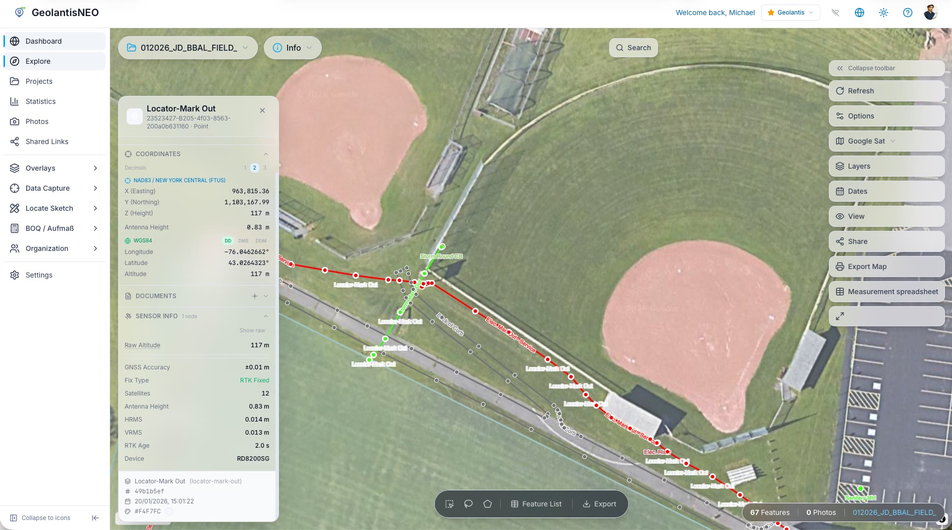
Try it
Tap through a real job.
This is the real app, running in your browser. Capture a cable, switch to parcels, measure a line.
On your phone? Install the app and try it on site.
Customer story
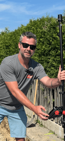
“With GeolantisNEO, we reduced our documentation time by 75% while increasing data quality. Geolantis is now indispensable.”
75%
less documentation time at DPB
Who it's for
Built for the people doing the work.
Site managers & foremen
Stake out and measure yourself, the same day. Stop planning the week around the surveyor.
Learn moreUtility locators
Dimensioned locate sketches and reports straight from site, with your locator connected live.
Learn moreSurveyors & engineers
One standard for every crew: RTK accuracy, full sensor metadata and clean CAD export.
Learn moreOffice & GIS teams
Field updates flow straight back into your records, with no re-keying and no drift.
Learn more
Works with your receiver
Connect the GNSS receiver you already own — no new hardware required.






…or connect any NTRIP / RTCM correction source.
Full device list and platform compatibility available in the app.
Global Basemap Coverage
Official cadastral and orthophoto basemaps across many countries.